
Shoreham prepares for major flood wall construction on A259
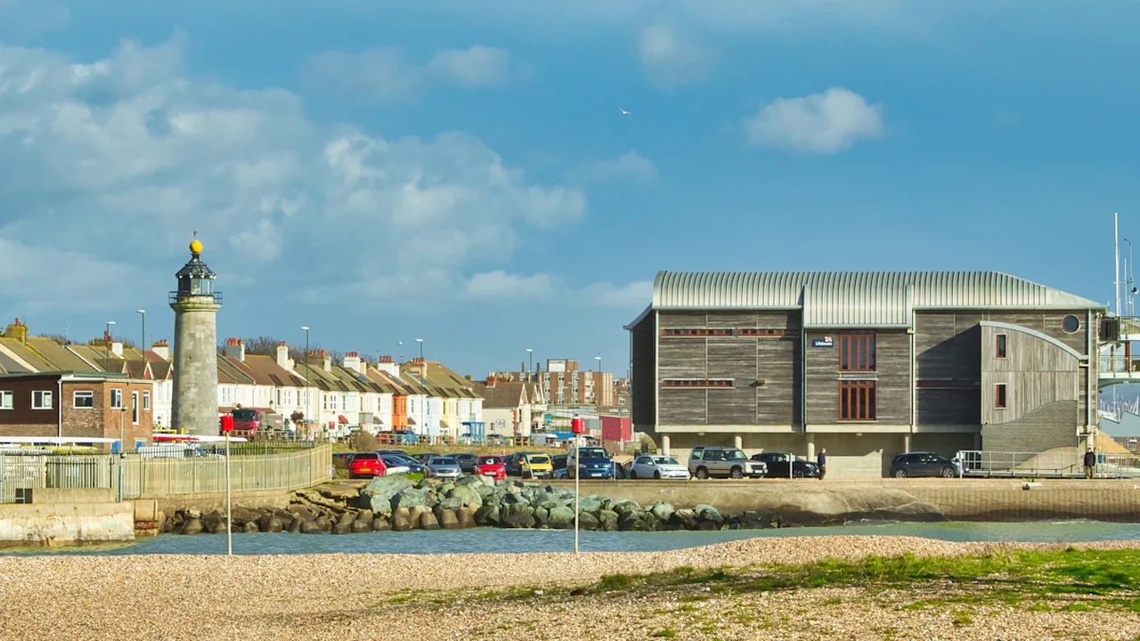
Preparatory work has officially commenced on a significant new flood defence project in Shoreham, aimed at safeguarding the town’s low-lying areas against rising sea levels and severe weather events. Contractors are currently active on the site, focusing on essential groundwork required before the primary construction phase begins.
Clearing the path for infrastructure
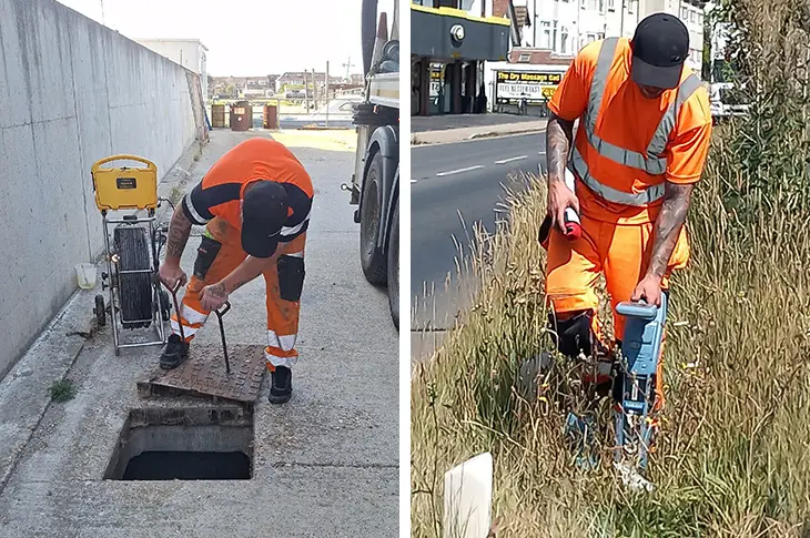
The initial phase involves a thorough inspection and maintenance of the drainage network running underneath and along the project site. Crews have identified a substantial build-up of silt within the pipes, which is being cleared using high-pressure power-blasting. This work is critical to ensuring the drainage system functions correctly once the new defences are in place.
Simultaneously, engineering teams are conducting ground scans across the area designated for the new wall and pathway. These surveys are designed to map out underground utilities, including gas pipes, water connections, electricity cables, and telecommunications lines. Identifying these potential challenges early is intended to prevent delays during the main construction phase and ensure the safety of the workforce and local infrastructure.

Scope of the flood protection project
The project is a collaborative effort involving the Environment Agency, West Sussex County Council, and the Sussex Yacht Club. The centrepiece of the development will be a substantial wall, constructed from steel-piled concrete, brick, and flint. Reaching up to 2.2 metres in height, the structure will run alongside the A259 Brighton Road, following the boundary of the Sussex Yacht Club.
Beyond flood protection, the scheme includes a new pedestrian pathway running alongside the northern side of the flood wall. This route will connect Mariner Point with the Shoreham footbridge, providing an improved pedestrian link for residents and visitors.
Project timeline and local impact
| Phase | Primary Activity |
|---|---|
| Current | Drain clearing and underground utility scanning |
| Upcoming | Construction of steel-piled concrete, brick and flint wall |
| Infrastructure | Development of new pedestrian pathway |
The essentials for residents and commuters
The project has been prioritised due to Shoreham’s increasing vulnerability to flooding in recent years. By reinforcing the riverbank, authorities aim to secure dozens of homes and businesses that currently sit in high-risk zones.
Residents and commuters using the A259 Brighton Road should remain aware of ongoing site activity as the preparatory phase progresses. While the current works are focused on subterranean inspections and clearing, the transition to the main construction phase will involve more visible heavy machinery and site activity. Those navigating the area are encouraged to keep an eye on official updates regarding the project, as the construction of the 2.2-metre wall will be a significant long-term addition to the town’s coastal infrastructure.
Source: Adur and Worthing Councils News
Context & actions About this article
Source check Verified Local Report
Information sourced directly from the latest Adur and Worthing Councils progress update regarding local flood mitigation infrastructure.
- Cross-referenced with Adur and Worthing project documentation
- Verified geographic scope of A259 flood wall
- Source
- Adur and Worthing Councils News
- Scope
- Shoreham, West Sussex
- Updated
- 2026-08-21 10:35
Source check
Report a trust issue
Send a clear signal to community moderation if the source, facts or context need review.



Comments